Saxton's Atlas
18 Aug 2023
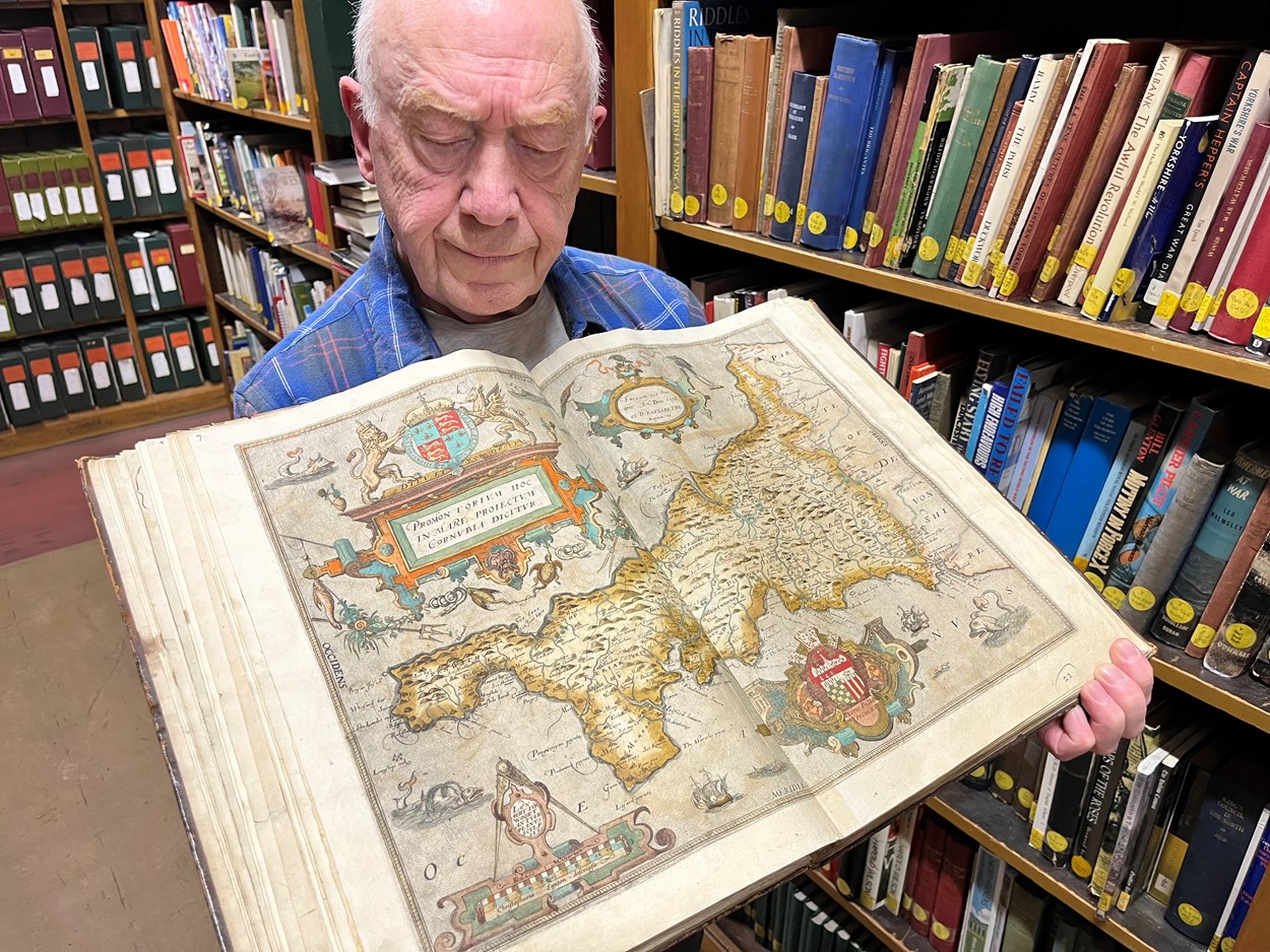
Philip Wilde, library assistant at Leeds Central Library with the atlas. Saxton’s Atlas, which he dedicated to Queen Elizabeth II, was completed in 1578 and after it was published the following year, it became the foundation for all subsequent county maps for more than a century after. In fact Saxton’s Atlas was not fully replaced as the definitive geographical representation of England and Wales until Ordnance Survey began publishing one-inch maps in 1801.
IMG_8087.jpeg